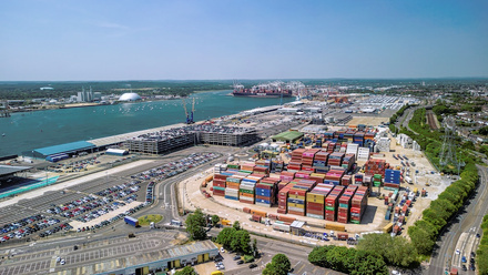
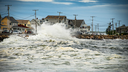
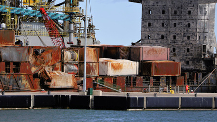
19 Mar 2026 Why shipping containers wash up on our coasts After 24 containers were lost overboard during Storm Goretti, experts worry the issue will become more regular Marine Professional - On the radar
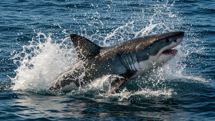
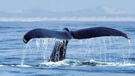
19 Mar 2026 Helping sharks by decoding their DNA Marine ecosystems are vital for the health of the ocean, the planet and many industries – and sharks are a crucial component Marine Professional - On the radar
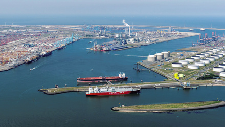
19 Mar 2026 EU needs to change course for green shipping How Europe is trying to win the global race to develop cleaner fuels Marine Professional - On the radar
19 Mar 2026 How subsea infrastructure is being protected Subsea pipelines and cables facilitate the global flow of data, electricity, oil and gas Marine Professional - On the radar
18 Feb 2026 Who stands to lose most if ocean health declines? A new report from the US suggests ocean decline will present economic risks for multiple industries, including energy, tourism and shipping. Marine Professional - On the radar
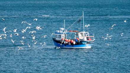
18 Feb 2026 Estimated ‘100,000 fishing-related deaths annually’ Accession to the 2012 Cape Town Agreement (CTA) by the Republic of Korea has moved the IMO global fishing safety initiative a step closer Marine Professional - On the radar
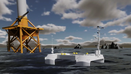
18 Feb 2026 European alliance to advance floating offshore wind Looking to align on port design, standardisation, and best operational practices, Britain joins France and Ireland Marine Professional - On the radar
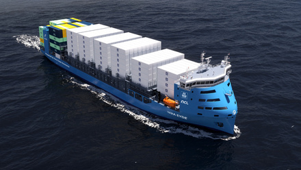
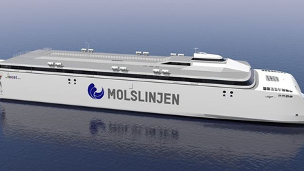
18 Feb 2026 Battery-powered vessels ‘no longer experimental’ Replacing or complementing conventional engines with high-capacity batteries can offer ‘significant emissions reductions’. Marine Professional - On the radar
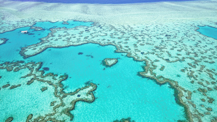
22 Jan 2026 Race on to save the Great Barrier Reef The world’s largest coral reef system may have thrived off Australia’s east coast for thousands of years, but its future is looking less bright. Marine Professional - On the radar
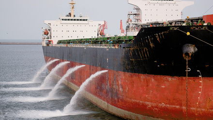
22 Jan 2026 Ballast water failings in four key areas A recent report revealed 90% of deficiencies are concentrated across four areas, but ballast water exchange not one of them. Marine Professional - On the radar
22 Jan 2026 Wärtsilä head: ‘Future-proof vessels for 30 years’ We catch up with the GSM (Newbuild), UK & Ireland, at Wärtsilä Marine, John Grant, an expert in alternative fuels and carbon capture. Marine Professional - On the radar
22 Jan 2026 How COP30 affects marine professionals Following the 2025 UN Climate Change Conference, steps are in place to help protect the ocean and accelerate decarbonisation in shipping. Marine Professional - On the radar
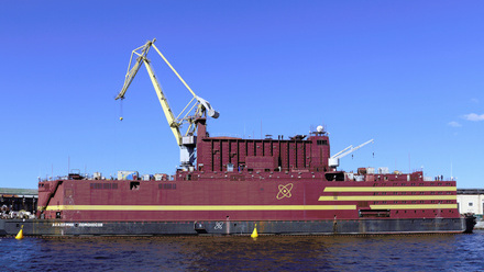
04 Dec 2025 UK and US ‘to build’ floating nuclear power plants Nuclear power in spotlight as the search for clean, reliable power in shipping continues. Marine Professional - On the radar
04 Dec 2025 Human watchkeepers under microscope There is a need to "radically rethink the role of human watchkeepers in the digital age", according to MAIB. Marine Professional - On the radar
04 Dec 2025 History: Daniel K. Ludwig – father of the supertanker Looking back at the career of the shipping giant and one of the world’s first billionaires. Marine Professional - On the radar
04 Dec 2025 Generative AI and how it is changing ship design A new project will use AI to help plan maritime vessels, but what are the advantages and limitations? Marine Professional - On the radar
06 Nov 2025 Virtual world for offshore wind robotics Deep dive into VDARE, which was created to fast-track the use of robotics and autonomous systems for offshore wind development. Marine Professional - On the radar
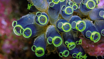
06 Nov 2025 The role of funding in protecting marine life The funding sources helping to maintain – and improve – marine ecosystems. Marine Professional - On the radar
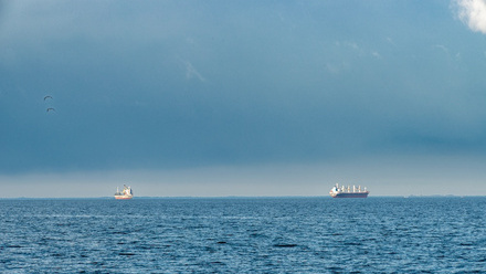
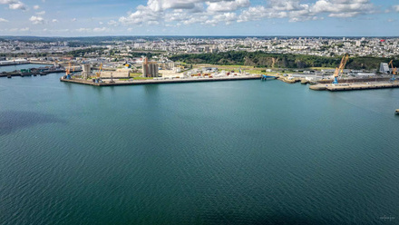
06 Nov 2025 Report: EU ports losing trade New figures from Eurostat indicate EU ports are shipping less goods in 2023 than the previous two years. Marine Professional - On the radar
06 Nov 2025 Nuclear submarine programme set to go ahead A US adviser recently stated the AUKUS project should not be cancelled in a paper, while President Trump seemingly backs the initiative. Marine Professional - On the radar