Teaching AI to read the ocean
Hydrophones, aircraft, satellites and seabed cameras generate more data than scientists can review by hand. From real-time orca alerts to plankton counts at sea, AI is speeding up the analysis.
Today, marine scientists have more ways than ever to observe life in the ocean. Beneath the surface, hydrophones record everything from the clicking of scallops to a singing humpback whale, while cameras capture marine life as they swim into view. From above, aerial surveys and satellites capture life at the ocean’s surface.
Such observations help scientists understand marine life and human impacts. But the amount of data can be enormous, and someone needs to go through the recordings and images to identify what's been captured.
At its heart, this work involves pattern recognition. For someone trawling through hundreds of hours of recordings or thousands of images, it's time-consuming. For AI, trained to recognise specific patterns, it can take a fraction of the time.
Listening underwater
The Pacific coast of Canada and north USA is home to one of the world's most endangered populations of orcas. With only around 75 southern resident orcas remaining, protecting them from vessel collisions and underwater noise is critical.
For vessels to take action, they need to know if they are near the orca – something that isn’t easy for an animal that spends most of its time under the water. So SMRU Consulting and Microsoft developed an autonomous orca detection system.
Hydrophones attached to solar powered buoys continuously record underwater sounds which are then analysed by AI in real time. When orca or indeed other cetaceans are detected, nearby vessels are alerted to their presence, giving operators time to slow down or change course.
Watching from above
As Arctic sea ice declines and shipping increases, understanding cetacean populations and movements in the region is more important than ever.
In Canada, researchers regularly survey whales from aircraft, collecting thousands of images that must be examined. To speed this process up, Whale Seeker has developed Möbius, an AI tool that automates whale detection in aerial imagery, reducing the time researchers need to spend analysing photographs.
Aerial surveys aren't the only way to photograph cetaceans from the sky. High-resolution satellites can also capture images of whales at the ocean's surface, potentially extending monitoring to vast, remote areas like the Arctic. However, detecting whales in satellite imagery presents different challenges, so Whale Seeker has developed a second AI tool – Cetus – specifically to detect mid-sized whales in these images.
Looking beneath the surface
In Scotland, aquaculture operators looking to build or expand their fish farms must consider potential impacts on sensitive seabed habitats like maerl, a slow-growing, coral-like red algae, and northern sea fans.
The first step is to collect underwater images and video of the seabed in and around the site – all of which must be analysed to identify sensitive species and habitats. To help automate this time-consuming process, the Scottish Association for Marine Science (SAMS) led the SEA-AI project, which developed AI tools to detect sensitive seabed features.
Using more than 10,000 images collected around Scotland, the team trained an AI model to identify maerl, achieving around 95% accuracy. Some species proved more challenging. For example, closed horse mussels seemed to be particularly difficult for an AI to distinguish against dark cobbles.
Exploring the microscopic
Plankton may be tiny, but they play a big role in marine food webs and in carbon cycles. Monitoring their abundance and distribution can help scientists understand changes in ocean ecosystems.
Traditionally, scientists collect plankton using nets, then preserve and identify the organisms under a microscope. If plankton could be monitored in real time instead, researchers could identify changes as they happen and adapt their sampling to investigate.
To answer this need researchers from Cefas, the Alan Turing Institute, and the National Oceanography Centre developed RAPID – an AI-powered system that can analyse images while a research vessel is still at sea. Using a camera connected to the ship's seawater supply, the system captures and classifies images of passing particles into copepods, other zooplankton, and detritus (non-living material). During one seven-day survey, the system successfully analysed 17 million in real time.
Enjoy this content, then why not join our Marine Mammal Special Interest Group?
Tell us what you think about this article by joining the discussion on IMarEST Connect.
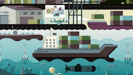
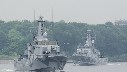
Main image: A research vessel with submerged equipment prepared for scientific exploration.
Credit: Shutterstock